Avery Schröder · 1 October 2026
How Detailed Renderings of Underground Structures Support Research on Sedge Adaptation in Varying Soil Conditions
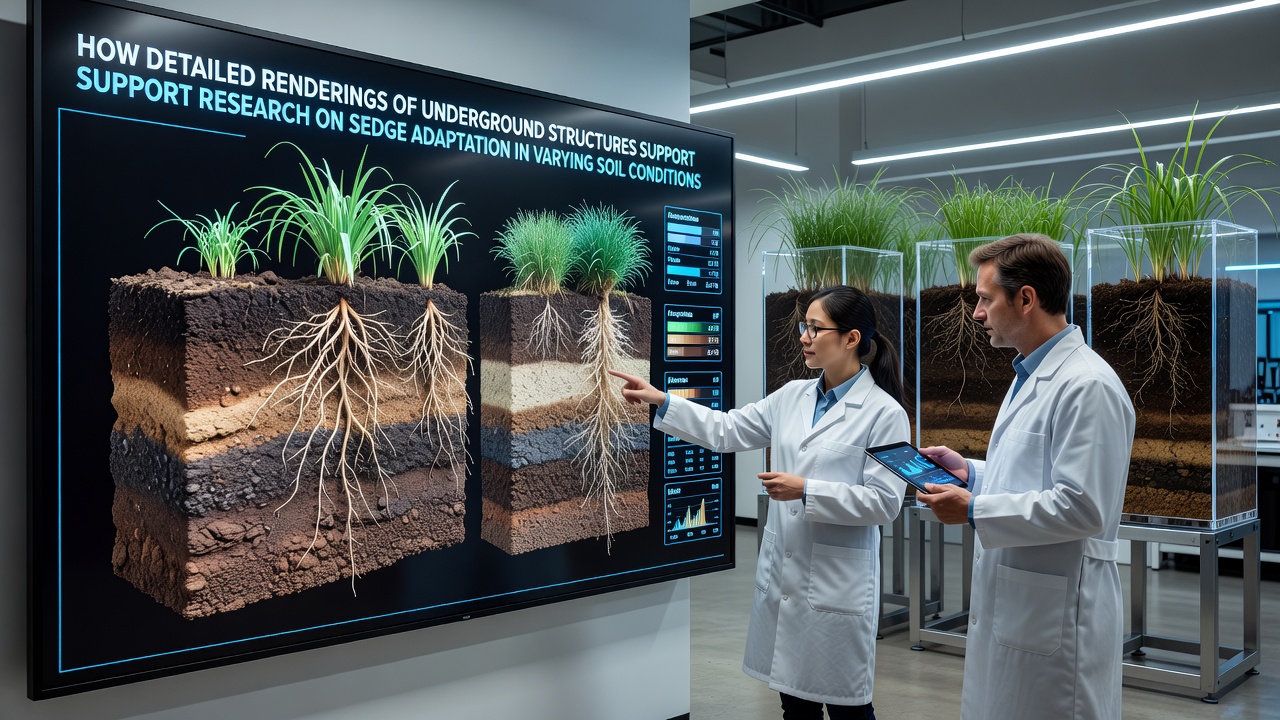
Researchers studying wetland plants have turned to high-resolution renderings of root systems to examine how sedges adjust their growth patterns when soil moisture, nutrient levels, and compaction change across sites. These visualizations combine data from CT scans, ground-penetrating radar, and soil coring to produce three-dimensional models that reveal root architecture without repeated excavation. In October 2026 several field teams released updated models that compare Carex species responses in clay-rich versus sandy substrates, showing clear differences in lateral root density and depth distribution.
Soil conditions directly influence sedge survival because roots must secure both water and oxygen while anchoring plants against erosion. Detailed renderings allow scientists to quantify traits such as aerenchyma volume, root hair length, and branching angles under controlled laboratory settings that mimic field gradients. Data from these models indicate that sedges grown in waterlogged peat develop shallower, more porous root mats, whereas the same species in drier mineral soils extend taproots nearly twice as deep within the first growing season.
Methods Used to Generate Underground Renderings
Teams collect soil blocks containing intact sedge plants, then pass the samples through industrial CT scanners that capture density differences at sub-millimeter resolution. Software stitches thousands of cross-sectional slices into rotatable models that researchers can slice virtually along any plane. Ground-penetrating radar supplements the scans by mapping root mass distribution across larger plots, while soil sensors record real-time moisture and oxygen readings that get layered onto the finished renderings.
Calibration against physical root washes confirms that the digital versions accurately represent actual biomass allocation. One study conducted across Canadian prairie wetlands demonstrated that modeled root volumes matched harvested weights within a five-percent margin, giving researchers confidence to apply the technique at additional sites without destructive sampling each season.
Adaptation Patterns Revealed by the Models
Renderings have documented several consistent responses among sedge populations. In compacted soils with low porosity, plants increase the proportion of roots growing at oblique angles rather than vertically, a pattern visible only when the full three-dimensional network appears on screen. In contrast, plants in loose, organic-rich soils show higher frequencies of fine root tips clustered near the surface, a configuration that supports rapid nutrient uptake during short flooding events.
Seasonal comparisons further illustrate plasticity. Models generated from the same plants in spring and late summer reveal that root systems in fluctuating water tables expand laterally during drawdown periods and contract during prolonged inundation. These shifts correlate with changes in soil redox potential recorded by buried probes, linking visible morphology directly to chemical conditions.
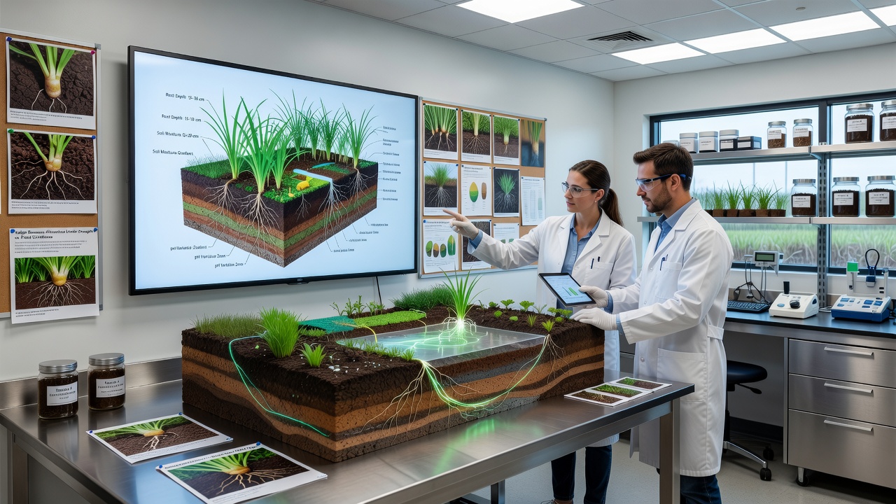
Comparative work across European and Australian research stations has produced similar findings despite differences in climate and species. Australian teams working with Carex appressa documented deeper rooting in sodic soils, while European groups studying Carex acuta recorded increased aerenchyma in frequently flooded river margins. The shared methodology of rendering underground structures has allowed direct numerical comparison of root traits measured under divergent conditions.
Integration with Broader Ecological Datasets
Researchers now overlay rendering outputs with vegetation surveys and hydrological records maintained by agencies such as the USDA Natural Resources Conservation Service. This integration shows that sites with higher modeled root porosity also support greater invertebrate diversity in the rhizosphere, suggesting belowground architecture influences community-level processes. Additional links connect rendering data to long-term monitoring plots managed by Australian state environment departments, where soil salinity trends are tracked alongside plant performance metrics.
Renderings also support restoration planning. When practitioners select sedge stock for wetland reconstruction, they consult models that predict root establishment success under specific soil textures and drainage regimes. Projects in the Great Lakes region have used these predictions to adjust planting densities, resulting in measurable increases in cover within two years compared with earlier trial-and-error approaches.
Future Directions in Rendering Technology
Advances in portable scanners and machine-learning segmentation are reducing the time required to produce usable models from days to hours. Several laboratories are experimenting with combining rendering outputs with drone-based multispectral imagery so that surface indicators can serve as proxies for subsurface traits at landscape scales. These developments expand the geographic reach of studies that previously remained limited to accessible field stations.
Conclusion
Detailed renderings of underground structures continue to supply quantitative evidence that links sedge root morphology to measurable soil variables. By replacing repeated excavation with non-destructive visualization, the approach preserves study sites for continued observation while generating comparable datasets across regions. Ongoing work scheduled through 2027 will test whether the same modeling pipelines can track root responses under projected climate scenarios, extending the utility of existing renderings into predictive applications.