Henrik Schmitt · 17 September 2026
Tracing Wetland Plant Identification Through Hand-Sketching Methods in Field Research
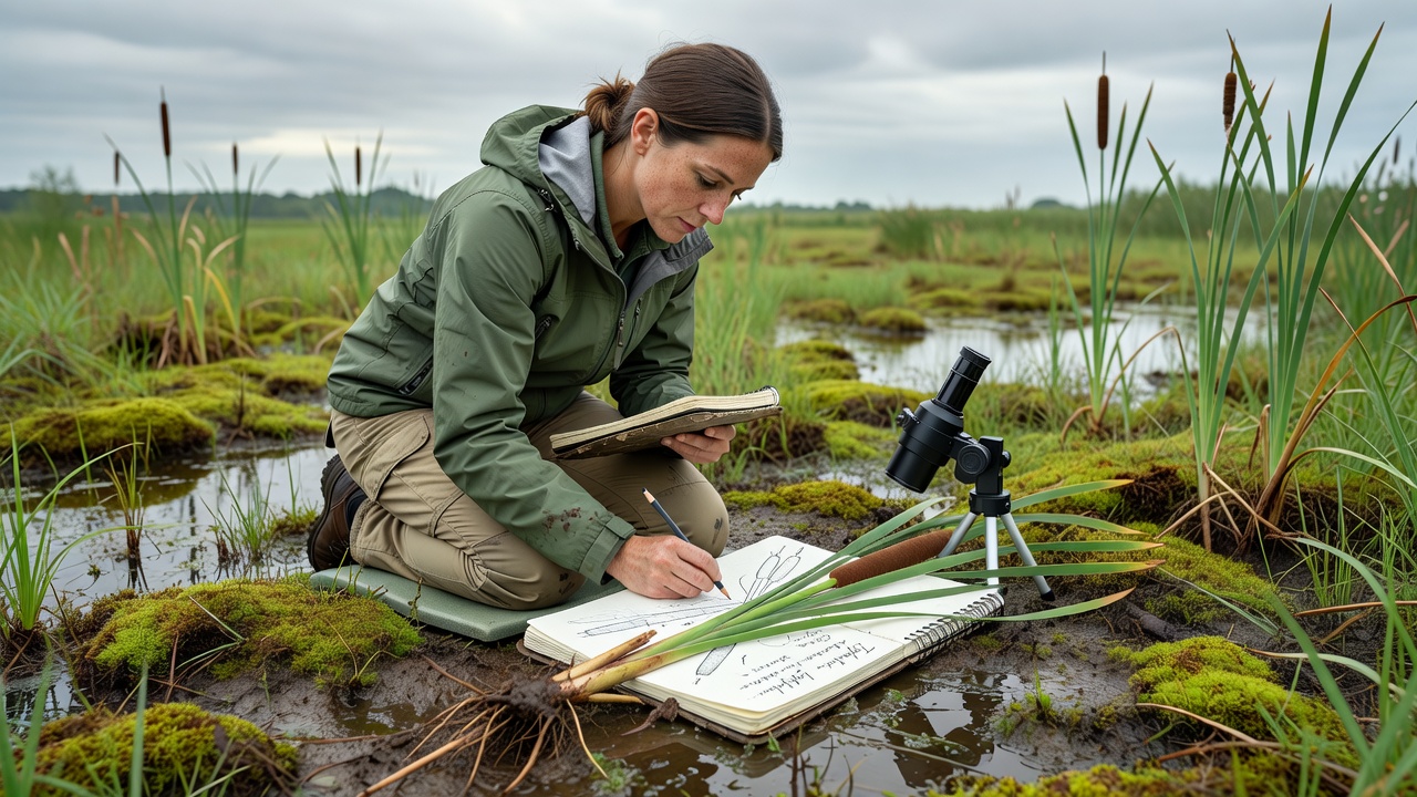
Researchers have long relied on hand-sketching as a core component of wetland plant identification because it allows precise capture of morphological details that photographs sometimes miss, especially when working with variable light conditions and dense vegetation. The process begins with careful observation of leaf arrangement, stem cross-sections, and inflorescence structures, then moves to layered tracing on translucent paper to highlight diagnostic features like ligules or achene shapes. Data from multiple field studies show that teams using sketching methods record higher accuracy rates in distinguishing closely related species within genera such as Carex and Juncus. Field protocols developed by environmental agencies emphasize systematic sketching sequences. Observers start with overall habit drawings at reduced scale, then progress to enlarged views of critical parts; this layered approach helps separate overlapping characteristics that appear similar under quick visual inspection. Equipment remains minimal yet effective: mechanical pencils with varying lead grades, acid-free tracing paper, and portable magnifying loupes. Researchers coordinate these sketches with GPS coordinates and soil samples, creating datasets that support long-term monitoring of wetland health indicators.Core Techniques in Practice
Hand-sketching methods incorporate several repeatable steps that field teams apply across different wetland types. Initial outline tracing captures plant silhouette and growth form, while subsequent overlays add venation patterns and surface textures. Multiple researchers have documented how this tracing sequence reduces misidentification errors compared with memory-based notes alone. In September 2026, several North American monitoring programs plan expanded training workshops focused on these techniques ahead of peak fall survey windows when many wetland species reach fruiting stage.
Cross-sectional sketches of stems and rhizomes prove especially valuable for graminoids, where external features alone often prove insufficient for species-level determination. Teams frequently combine sketches with pressed specimens, using the drawings to annotate subtle traits that flatten during drying. Government reports from Environment and Climate Change Canada highlight how sketched records have contributed to updated distribution maps for rare wetland taxa in boreal regions.
Integration with Modern Documentation
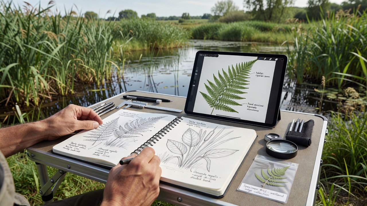
Digital tools now complement rather than replace hand-sketching. Researchers scan completed tracings and link them to database entries that include georeferenced photographs and genetic sample metadata. This hybrid workflow appears in publications from institutions such as the USGS Wetland and Aquatic Research Center, where archived sketches serve as reference material for training new staff. The approach maintains tactile advantages of direct observation while enabling easier sharing across collaborative projects spanning multiple watersheds.
Regional Applications and Data Collection
European wetland surveys coordinated through the European Environment Agency have adopted standardized sketching templates that facilitate cross-border comparisons of vegetation changes. These templates guide observers to record proportional measurements directly on the page, which later support quantitative analyses of community shifts. Australian researchers working in coastal saltmarshes similarly use tracing methods to document subtle differences in succulent halophytes, where color variation and leaf succulence complicate photographic identification.
Training programs at universities incorporate sketching modules early in botany curricula. Students practice on common species before advancing to field conditions, building muscle memory for rapid documentation during short survey windows. Published case examples demonstrate that practitioners who maintain consistent sketching habits produce datasets with fewer gaps when weather or equipment issues disrupt other recording methods.
Conclusion
Hand-sketching continues to serve as a reliable foundation for wetland plant identification across diverse research settings. When combined with spatial data, specimen collection, and emerging digital platforms, these manual techniques support accurate species inventories and long-term ecological monitoring. Organizations maintain archives of field sketches that function as both scientific records and training resources for subsequent generations of researchers working in dynamic wetland environments.